Drone Surveys Near Me
Roof Survey
A full aerial look at the roof, condition recorded and photographed, with a written report inside 48 hours.
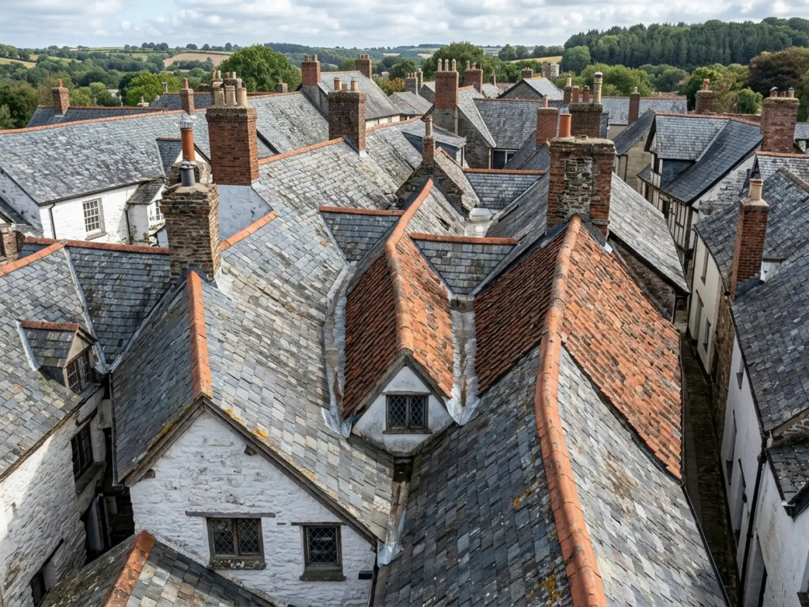
This is the job most enquiries turn out to be, whichever town they come from: a straightforward look at the whole roof, close enough to see what a ladder or a pair of binoculars from the ground can't.
It suits a sale, a purchase, a routine check before winter, or simply a property nobody has had a proper look at in a while. No scaffolding and no ladders against the house, and a fixed price agreed before the visit whatever the postcode.
What is included
- A full pass of every roof slope and ridge
- Close-up stills of anything that needs a second look
- Chimneys, flashings and valleys covered from the air
- A written report within 48 hours
- Photographs supplied alongside the report, usable for a quote or a sale
What the camera actually catches
The Mavic 4 Pro's 100 megapixel Hasselblad camera resolves detail a pair of binoculars from a garden or a street can't: slipped or cracked tiles, moss and vegetation build-up, flashing that has lifted, and the general condition of ridges and valleys that are otherwise invisible from ground level.
6K video is used where a still photograph doesn't tell the whole story, particularly on a long ridge line or where the concern is spread across more than one slope.
When a thermal check makes more sense instead
If the actual question is heat loss, a damp patch, or where water is getting in rather than the general roof condition, the thermal service reads temperature rather than surface detail, and it's worth asking for that instead, or alongside a standard survey.
On the day
How a roof survey runs
- Step 1
Send the postcode and the job
Tell us where and what needs looking at, and a few dates that would suit.
- Step 2
Fixed price agreed
A price is confirmed before the visit, based on the address and the brief, not adjusted on the day.
- Step 3
The flight
The Mavic 4 Pro covers the roof from the air. No access to the roof itself is needed.
- Step 4
The report
A written report with photographs follows within 48 hours, describing what the flight found.
Behind the work
Kit, cover and qualifications
CAA registered
Registered operator with the Civil Aviation Authority, Operator ID and Flyer ID held.
A2 Certificate of Competency
The qualification that governs how close and how the aircraft can be flown near people and buildings.
Insured with Coverdrone
Fully insured for commercial drone operations, cover confirmed before every job.
Mavic 4 Pro
100 megapixel Hasselblad camera and 6K video for the visual survey.
Mavic 2 Enterprise Advanced
640 by 512 radiometric thermal camera, carried alongside the visual aircraft.
No scaffolding, no ladders
Every survey is flown from the air, whatever the property or the postcode.
Construction background
A construction industry background behind the camera, not just a photography one.
Written report within 48 hours
Every survey, wherever it was flown, comes with a written report inside 48 hours.
Roof survey
Roof Survey questions
- Do you need access to my roof or loft?
- No. The survey is flown entirely from the air, so there's no need for anyone on site to provide roof or loft access on the day.
- What if it's raining or too windy on the day?
- Flights are rescheduled for wind, rain or poor light at no extra cost. It's treated as a normal part of the process, not a cancellation.
Where
Roof Survey across the South West
Also on this site
Call now
Check availability with Drone Surveys Near Me
Tell us the address and what you need looking at. Sam Hembury will come back with a fixed price and the next available slot.