Drone Surveys Near Me
Aerial Photography
High-resolution aerial images of a property or a piece of land, for a sale, a planning application, or simply a record of the place.
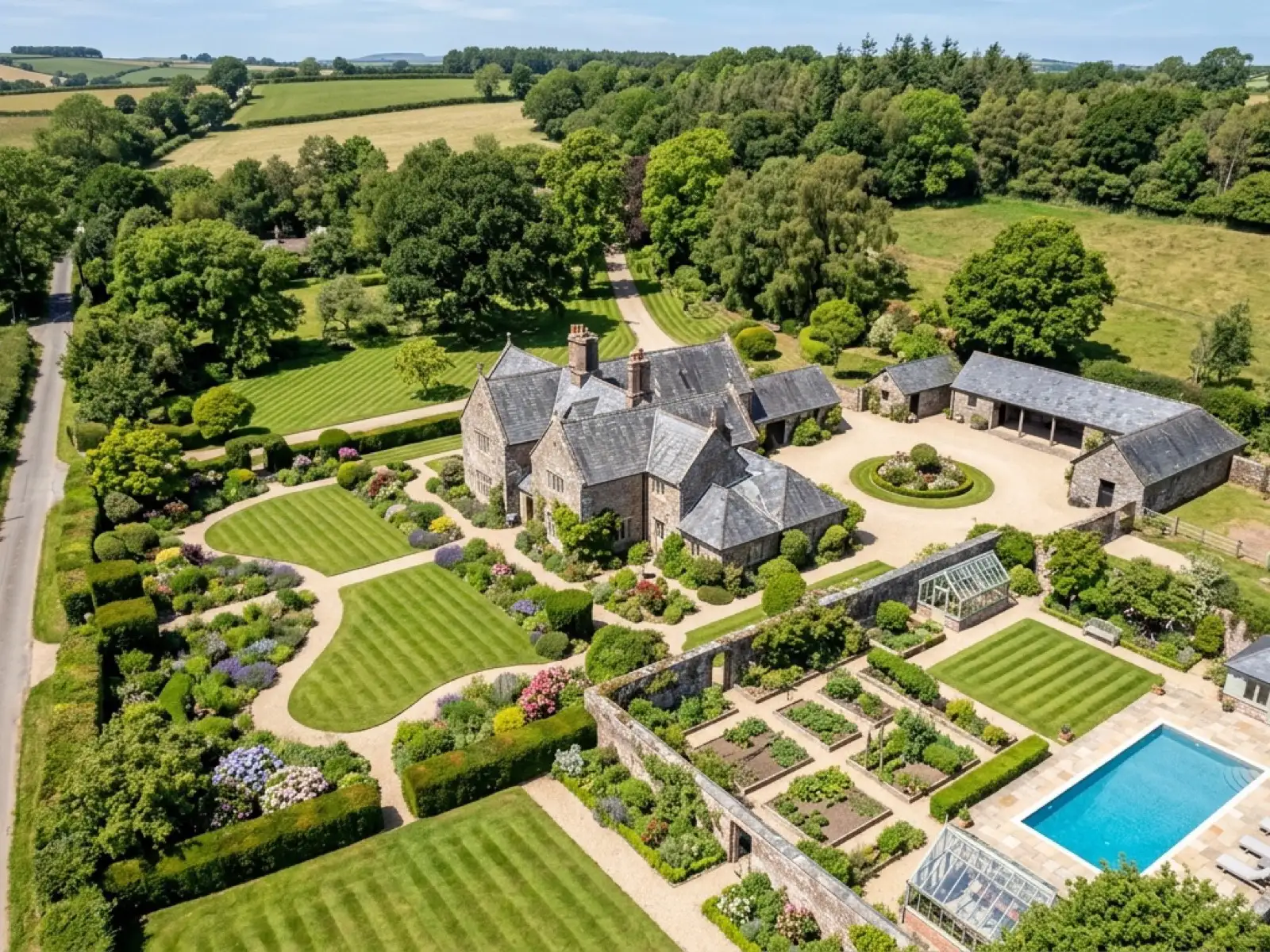
Not every booking is a condition check. Aerial photography on its own, using the same 100 megapixel Hasselblad camera, is booked for a property sale, a planning application, a record of land before or after work, or simply a set of images nobody has had taken before.
The same fixed price agreed before the visit and 48-hour turnaround apply, the deliverable is simply a set of images rather than a condition report.
What is included
- A set of high-resolution aerial stills of the property or land
- 6K video where a moving shot suits the brief better than stills
- Images supplied within 48 hours in a usable, high-resolution format
- Fixed price agreed before the visit
A record now, before it changes
Land and property change, sometimes because of planned work, sometimes because of weather or age. Aerial photography booked now is a dated record of how a site looked on a specific day, which has its own value separate from any condition finding.
On the day
How a aerial photography runs
- Step 1
Confirm what the images are for
A sale listing, a planning submission and a personal record all suit slightly different framing, so the brief shapes the flight plan.
- Step 2
Fixed price agreed
Confirmed before the visit, based on the site and the brief.
- Step 3
The flight
Stills, video, or both, covering the property or land from the angles agreed in advance.
- Step 4
Delivery
Images supplied within 48 hours, ready to use.
Behind the work
Kit, cover and qualifications
CAA registered
Registered operator with the Civil Aviation Authority, Operator ID and Flyer ID held.
A2 Certificate of Competency
The qualification that governs how close and how the aircraft can be flown near people and buildings.
Insured with Coverdrone
Fully insured for commercial drone operations, cover confirmed before every job.
Mavic 4 Pro
100 megapixel Hasselblad camera and 6K video for the visual survey.
Mavic 2 Enterprise Advanced
640 by 512 radiometric thermal camera, carried alongside the visual aircraft.
No scaffolding, no ladders
Every survey is flown from the air, whatever the property or the postcode.
Construction background
A construction industry background behind the camera, not just a photography one.
Written report within 48 hours
Every survey, wherever it was flown, comes with a written report inside 48 hours.
Aerial photography
Aerial Photography questions
- Can I use the images for a sale listing?
- Yes. Images are supplied in a high-resolution format suitable for a listing, a planning submission, or general use, with copyright terms set out in our terms of business.
Where
Aerial Photography across the South West
Also on this site
Call now
Check availability with Drone Surveys Near Me
Tell us the address and what you need looking at. Sam Hembury will come back with a fixed price and the next available slot.